avia.wikisort.org - Aerodrome
Vichy – Charmeil Airport (French: Aéroport de Vichy - Charmeil) (IATA: VHY, ICAO: LFLV) is an airport located in Charmeil, 5 km (3 NM) north-northwest of Vichy,[1] both communes in the Allier department of the Auvergne region in central France.
This article may be expanded with text translated from the corresponding article in French. (August 2012) Click [show] for important translation instructions.
|
Vichy – Charmeil Airport Aéroport de Vichy - Charmeil | |||||||||||
|---|---|---|---|---|---|---|---|---|---|---|---|
| |||||||||||
| Summary | |||||||||||
| Airport type | Public | ||||||||||
| Operator | Mairie de Vichy | ||||||||||
| Serves | Vichy, France | ||||||||||
| Location | Charmeil | ||||||||||
| Elevation AMSL | 817 ft / 249 m | ||||||||||
| Coordinates | 46°10′18″N 003°24′15″E | ||||||||||
| Map | |||||||||||
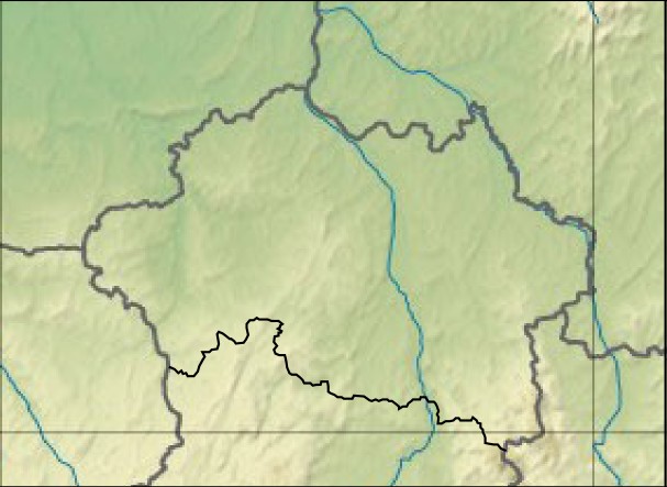 LFLV Location of airport in Allier department Location of Allier department in France 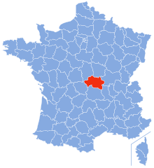 | |||||||||||
| Runways | |||||||||||
| |||||||||||
Source: AIP France[1] | |||||||||||
Facilities
The airport resides at an elevation of 817 feet (249 m) above mean sea level. It has one runway designated 01/19 with an asphalt surface measuring 2,200 by 45 metres (7,218 ft × 148 ft).[1]
References
- LFLV – VICHY CHARMEIL. AIP from French Service d'information aéronautique, effective 16 June 2022.
На других языках
- [en] Vichy — Charmeil Airport
[fr] Aéroport de Vichy-Charmeil
@media all and (max-width:720px){body.skin-minerva .mw-parser-output *[class*="infobox"] table{display:table}body.skin-minerva .mw-parser-output *[class*="infobox"] caption{display:table-caption}}Текст в блоке "Читать" взят с сайта "Википедия" и доступен по лицензии Creative Commons Attribution-ShareAlike; в отдельных случаях могут действовать дополнительные условия.
Другой контент может иметь иную лицензию. Перед использованием материалов сайта WikiSort.org внимательно изучите правила лицензирования конкретных элементов наполнения сайта.
Другой контент может иметь иную лицензию. Перед использованием материалов сайта WikiSort.org внимательно изучите правила лицензирования конкретных элементов наполнения сайта.
2019-2025
WikiSort.org - проект по пересортировке и дополнению контента Википедии
WikiSort.org - проект по пересортировке и дополнению контента Википедии