avia.wikisort.org - Aérodrome
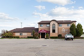
L'aéroport municipal de Zanesville est un aéroport situé dans l’Ohio, aux États-Unis.
Notes et références
- Portail de l’aéronautique
- Portail de l’Ohio
На других языках
[en] Zanesville Municipal Airport
Zanesville Municipal Airport (IATA: ZZV[2], ICAO: KZZV, FAA LID: ZZV) is a city-owned airport six miles east of downtown Zanesville, in Muskingum County, Ohio.[1] The National Plan of Integrated Airport Systems for 2011–2015 called it a general aviation facility.[3]- [fr] Aéroport municipal de Zanesville
Текст в блоке "Читать" взят с сайта "Википедия" и доступен по лицензии Creative Commons Attribution-ShareAlike; в отдельных случаях могут действовать дополнительные условия.
Другой контент может иметь иную лицензию. Перед использованием материалов сайта WikiSort.org внимательно изучите правила лицензирования конкретных элементов наполнения сайта.
Другой контент может иметь иную лицензию. Перед использованием материалов сайта WikiSort.org внимательно изучите правила лицензирования конкретных элементов наполнения сайта.
2019-2025
WikiSort.org - проект по пересортировке и дополнению контента Википедии
WikiSort.org - проект по пересортировке и дополнению контента Википедии
