avia.wikisort.org - Aérodrome
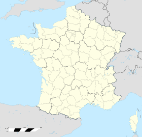
L'aérodrome de Saint-Simon - Clastres est un ancien aérodrome situé à Clastres dans l'Aisne.
- Portail de l’Aisne
- Portail de l’aéronautique
- Portail de l’histoire militaire
На других языках
[de] Militärflugplatz Clastres-Saint-Simon
Die Base aérienne de Clastres–Saint-Simon war ein Militärflugplatz, dessen Wurzeln bis in die Anfänge der Militärfliegerei zurückreichten.[en] Saint-Simon – Clastres Air Base
Saint-Simon – Clastres Air Base (French: Base aérienne de Saint-Simon - Clastres) (ICAO: LFYT) is an abandoned military airfield, which is located approximately 3 km (2 NM) northwest of Clastres and east of Saint-Simon, both communes in the Aisne department of the Picardy (Picardie) region in France. It is approximately 116 km (63 NM) north-northeast of Paris.- [fr] Base aérienne de Saint-Simon - Clastres
Текст в блоке "Читать" взят с сайта "Википедия" и доступен по лицензии Creative Commons Attribution-ShareAlike; в отдельных случаях могут действовать дополнительные условия.
Другой контент может иметь иную лицензию. Перед использованием материалов сайта WikiSort.org внимательно изучите правила лицензирования конкретных элементов наполнения сайта.
Другой контент может иметь иную лицензию. Перед использованием материалов сайта WikiSort.org внимательно изучите правила лицензирования конкретных элементов наполнения сайта.
2019-2025
WikiSort.org - проект по пересортировке и дополнению контента Википедии
WikiSort.org - проект по пересортировке и дополнению контента Википедии


