avia.wikisort.org - Aerodrome
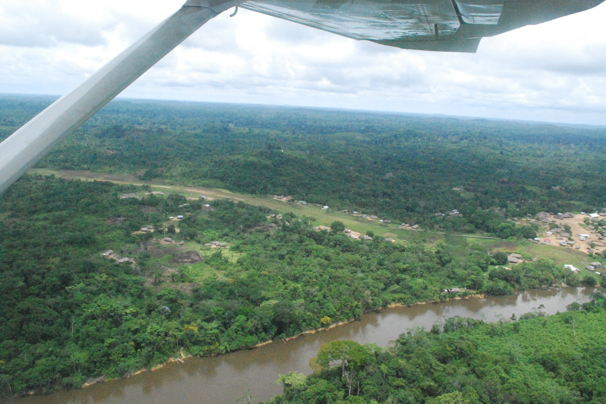
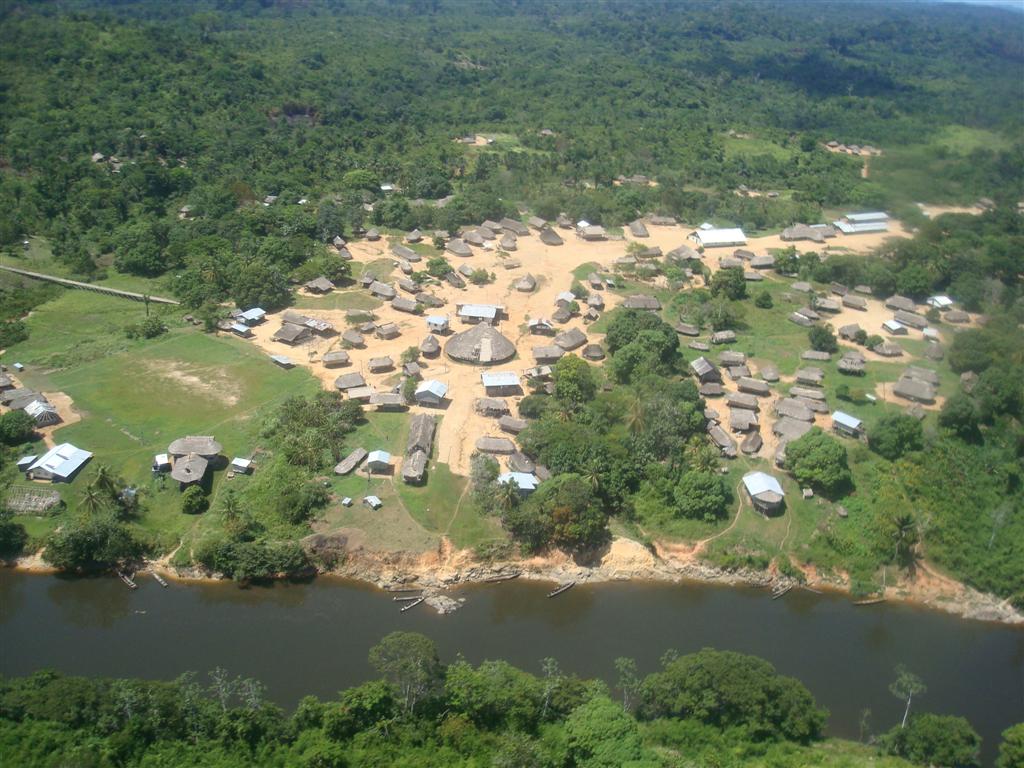
Kwamelasemoetoe Airstrip (IATA: SMSM) is an airport serving Kwamelasemoetoe, Suriname, a Trio Indian village in the south of Suriname in the Sipaliwini District. The name of the village means bamboo sand, named after nearby Sipaliwini River banks partly overgrown with bamboo.
Kwamelasemoetoe Airstrip | |||||||||||
|---|---|---|---|---|---|---|---|---|---|---|---|
| |||||||||||
| Summary | |||||||||||
| Airport type | Public | ||||||||||
| Operator | Luchtvaartdienst Suriname | ||||||||||
| Location | Kwamelasemoetoe, Suriname | ||||||||||
| Elevation AMSL | 905 ft / 276 m | ||||||||||
| Coordinates | 2°21′15″N 56°47′35″W | ||||||||||
| Map | |||||||||||
 SMSM Location in Suriname | |||||||||||
| Runways | |||||||||||
| |||||||||||
Kwamelasemoetoe is just east of the Tigri Area (in light grey on the map), a triangular section of land disputed with Guyana.
Charters and destinations
Charter Airlines serving this airport are:
| Airlines | Destinations |
|---|---|
| Blue Wing Airlines | Paramaribo, Zorg en Hoop Airport[3] |
| Caricom Airways | Paramaribo, Zorg en Hoop Airport |
| Gum Air | Paramaribo, Zorg en Hoop Airport[4] |
| Hi-Jet Helicopter Services | Paramaribo, Zorg en Hoop Airport |
| Suriname Air Force / Surinaamse Luchtmacht | Paramaribo, Zorg en Hoop Airport |
| Surinaamse Medische Zendings Vliegdienst / MAF | Paramaribo, Zorg en Hoop Airport |
Accidents and incidents
 On 15 October 2009, an Antonov An-28 of Blue Wing Airlines, registered PZ-TST, departed the runway on landing and hit an obstacle. The aircraft was substantially damaged and four people were injured, one seriously.[5]
See also
 Suriname portal
 Aviation portal
- List of airports in Suriname
- Transport in Suriname
References
- Airport information for SMSM at Great Circle Mapper.
- Google Maps - Kwamelasemoetoe
- Blue Wing schedule Archived 2013-05-22 at the Wayback Machine
- Gum Air destinations
- "Accident description". Aviation safety network. Retrieved 18 October 2009.
External links
- On downwind Rwy 10 Aerial photo
- Kwamalasamutu village Aerial photo
- OurAirports - Kwamalasamutu
- Kwamalasoemoetoe Airport
This article about an airport in Suriname is a stub. You can help Wikipedia by expanding it. |
Текст в блоке "Читать" взят с сайта "Википедия" и доступен по лицензии Creative Commons Attribution-ShareAlike; в отдельных случаях могут действовать дополнительные условия.
Другой контент может иметь иную лицензию. Перед использованием материалов сайта WikiSort.org внимательно изучите правила лицензирования конкретных элементов наполнения сайта.
Другой контент может иметь иную лицензию. Перед использованием материалов сайта WikiSort.org внимательно изучите правила лицензирования конкретных элементов наполнения сайта.
2019-2025
WikiSort.org - проект по пересортировке и дополнению контента Википедии
WikiSort.org - проект по пересортировке и дополнению контента Википедии