avia.wikisort.org - Aérodrome
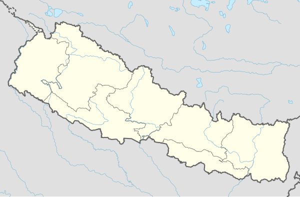
L'aéroport de Ramechhap (code IATA : RHP • code OACI : VNRC) est un aéroport desservant la ville de Manthali au Népal.
Installations
Il possède une unique piste longue de 518 mètres.
Situation
L'aéroport est situé à 474 mètres au-dessus du niveau de la mer.
Compagnies et destinations
| Compagnies | Destinations |
|---|---|
| Tara Air | Katmandou-Tribhuvan [1] |
Références
- (en) Cet article est partiellement ou en totalité issu de l’article de Wikipédia en anglais intitulé « Ramechhap Airport » (voir la liste des auteurs).
- (en) Tara Air, « Flight Schedule »(Archive.org • Wikiwix • Archive.is • Google • Que faire ?) (consulté le )
- Portail de l’aéronautique
- Portail du Népal
На других языках
[en] Ramechhap Airport
Ramechhap Airport (IATA: RHP, ICAO: VNRC) is a domestic airport serving the municipality of Manthali,[1] the district headquarters of Ramechhap District located in the Tamakoshi River valley in Bagmati Province in Nepal.- [fr] Aéroport de Ramechhap
Текст в блоке "Читать" взят с сайта "Википедия" и доступен по лицензии Creative Commons Attribution-ShareAlike; в отдельных случаях могут действовать дополнительные условия.
Другой контент может иметь иную лицензию. Перед использованием материалов сайта WikiSort.org внимательно изучите правила лицензирования конкретных элементов наполнения сайта.
Другой контент может иметь иную лицензию. Перед использованием материалов сайта WikiSort.org внимательно изучите правила лицензирования конкретных элементов наполнения сайта.
2019-2025
WikiSort.org - проект по пересортировке и дополнению контента Википедии
WikiSort.org - проект по пересортировке и дополнению контента Википедии


