avia.wikisort.org - Aerodrome
Al Qaisumah/Hafr al Batin Airport (Arabic: مطار القيصومة/حفر الباطن, IATA: AQI, ICAO: OEPA) is an airport serving Al Qaisumah (also spelled Al Qaysumah), a village near the city of Hafar al-Batin in Eastern Province, Saudi Arabia. The airport itself is about 20 kilometres (12.4 mi) southeast of Hafar al-Batin.
This article needs additional citations for verification. (April 2021) |
Al Qaisumah/Hafr Al Batin Airport مطار القيصومة/حفر الباطن | |||||||||||
|---|---|---|---|---|---|---|---|---|---|---|---|
| |||||||||||
| Summary | |||||||||||
| Airport type | Public | ||||||||||
| Operator | Government | ||||||||||
| Serves | Qaisumah, Hafar al-Batin | ||||||||||
| Location | Eastern Province, Saudi Arabia | ||||||||||
| Elevation AMSL | 1,174 ft / 358 m | ||||||||||
| Coordinates | 28°20′06.8″N 046°07′29.8″E | ||||||||||
| Map | |||||||||||
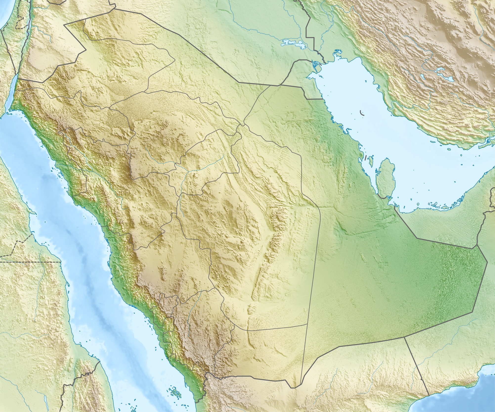 OEPA Location of airport in Saudi Arabia | |||||||||||
| Runways | |||||||||||
| |||||||||||
The airport began in 1962 as a dusty runway for a Dakota aircraft which was used at that time for transporting Saudi Aramco employees between stations in the northern region. Today, the airport has a 3000 metres runway capable of handling Boeing 737, a total of 11 million square metre area, a passenger terminal, a sewage system and a water treatment and stand-by power plant.[1]
Facilities
The airport resides at an elevation of 1,174 feet (358 m) above mean sea level. It has one runway designated 16/34 with an asphalt surface measuring 3,000 by 45 metres (9,843 ft × 148 ft).
Airlines and destinations
Airlines offering scheduled passenger service:
| Airlines | Destinations |
|---|---|
| Nesma Airlines | Ha'il |
| Saudia | Jeddah, Riyadh |
See also
- Hafar al-Batin Domestic Airport (King Khaled Military City Airport), located at 27°54′03″N 045°31′41″E.
- Abha International Airport
- List of Airports in Saudi Arabia
References
- "Qaisumah Domestic Airport". General Authority of Civil Aviation. Archived from the original on 19 July 2011. (in English)
External links
- General Authority of Civil Aviation (GACA) (in English)
- Aeronautical chart and airport information for OEPA at SkyVector
- Current weather for OEPA at NOAA/NWS
- Accident history for AQI / OEPA at Aviation Safety Network
На других языках
[de] Flughafen Hafar al-Batin
Der Flughafen Hafar al-Batin (arabisch مطار حفر الباطن, DMG Maṭār Ḥafar al-Bāṭin, auch Flughafen al-Qaisuma, arabisch مطار القيصومة, DMG Maṭār al-Qaiṣūma, IATA-Code: AQI[1], ICAO-Code: OEPA[1]) liegt in der Provinz asch-Scharqiyya im Nordosten Saudi-Arabiens, etwa 16 Kilometer südöstlich der Stadt Hafar al-Batin in der Nähe des Dorfes al-Qaisūma.- [en] Al Qaisumah/Hafr Al Batin Airport
[fr] Aéroport de Qaisumah
L'aéroport de Qaisumah (code IATA : AQI • code OACI : OEPA), à l'origine construit pour Saudi Aramco, dessert la ville d'Hafar Al-Batin (10 km à l'ouest), au nord est de la province de l'est de l'Arabie saoudite, près du Koweït.Другой контент может иметь иную лицензию. Перед использованием материалов сайта WikiSort.org внимательно изучите правила лицензирования конкретных элементов наполнения сайта.
WikiSort.org - проект по пересортировке и дополнению контента Википедии