avia.wikisort.org - Aerodrome
Baker Airport (FAA LID: 0O2) is a public airport located two miles (3 km) northwest of the central business district of Baker, in San Bernardino County, California, United States. It is owned by the U.S. Department of the Interior, Bureau of Land Management.[1]
Baker Airport | |||||||||||
|---|---|---|---|---|---|---|---|---|---|---|---|
| |||||||||||
| Summary | |||||||||||
| Airport type | Public | ||||||||||
| Owner | U.S. Dept. of Interior-BLM | ||||||||||
| Operator | San Bernardino County, Department of Airports | ||||||||||
| Serves | Baker, California | ||||||||||
| Elevation AMSL | 922 ft / 281 m | ||||||||||
| Coordinates | 35°17′11″N 116°04′54″W | ||||||||||
| Website | cms | ||||||||||
| Runways | |||||||||||
| |||||||||||
| Statistics (2006) | |||||||||||
| |||||||||||
Source: Federal Aviation Administration[1] | |||||||||||
Facilities and aircraft
Baker Airport covers an area of 240 acres (97 ha) and has one runway designated 15/33 with a 3,157 by 50 feet (962 by 15 m) asphalt surface. For the 12-month period ending February 16, 2006, the airport had 500 general aviation aircraft operations, an average of 42 per month.[1]
References
- FAA Airport Form 5010 for 0O2 PDF, effective 2007-12-20
External links
- Resources for this airport:
- FAA airport information for 0O2
- AirNav airport information for 0O2
- FlightAware airport information and live flight tracker
- SkyVector aeronautical chart for 0O2
Airports in the Inland Empire | ||
|---|---|---|
| Commercial airports | 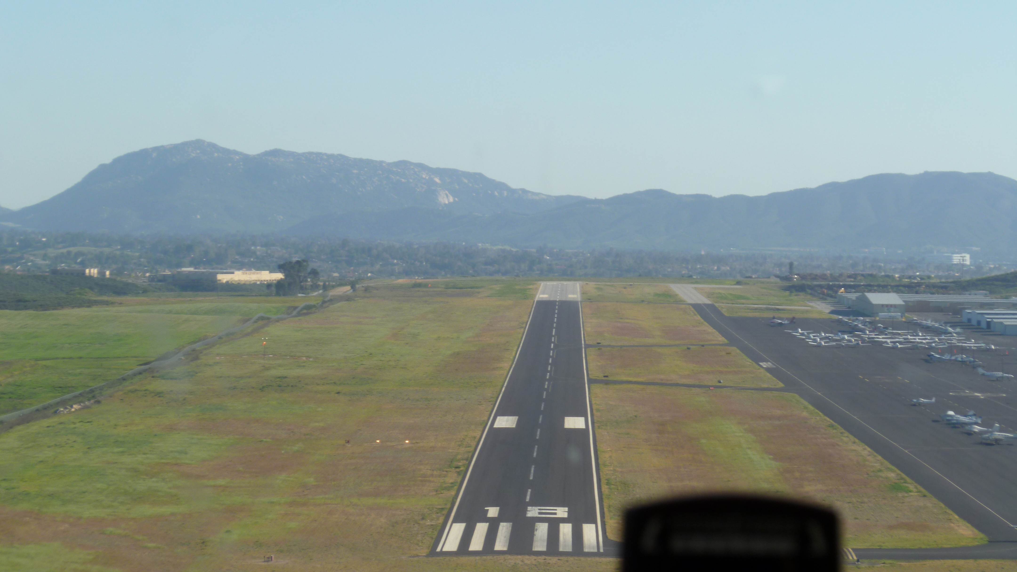 | |
| Towered general aviation airports | ||
| Non-towered general aviation airports | ||
| Military airports |
| |
| Defunct airports |
| |
This article about a California airport is a stub. You can help Wikipedia by expanding it. |
На других языках
- [en] Baker Airport
[ru] Бейкер (аэропорт, Калифорния)
Аэропорт Бейкер (англ. Baker Airport), (FAA LID: 0O2) — государственный гражданский аэропорт, расположенный в трёх километрах к северо-западу от центра делового района неинкорпорированной территории Бейкер округа Сан-Бернардино (Калифорния), США. Аэропорт находится в собственности Департамента по управлению землями Министерства внутренних дел США.[1]Текст в блоке "Читать" взят с сайта "Википедия" и доступен по лицензии Creative Commons Attribution-ShareAlike; в отдельных случаях могут действовать дополнительные условия.
Другой контент может иметь иную лицензию. Перед использованием материалов сайта WikiSort.org внимательно изучите правила лицензирования конкретных элементов наполнения сайта.
Другой контент может иметь иную лицензию. Перед использованием материалов сайта WikiSort.org внимательно изучите правила лицензирования конкретных элементов наполнения сайта.
2019-2026
WikiSort.org - проект по пересортировке и дополнению контента Википедии
WikiSort.org - проект по пересортировке и дополнению контента Википедии