avia.wikisort.org - Aerodrome
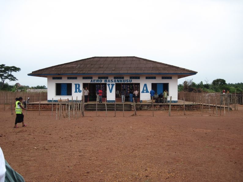
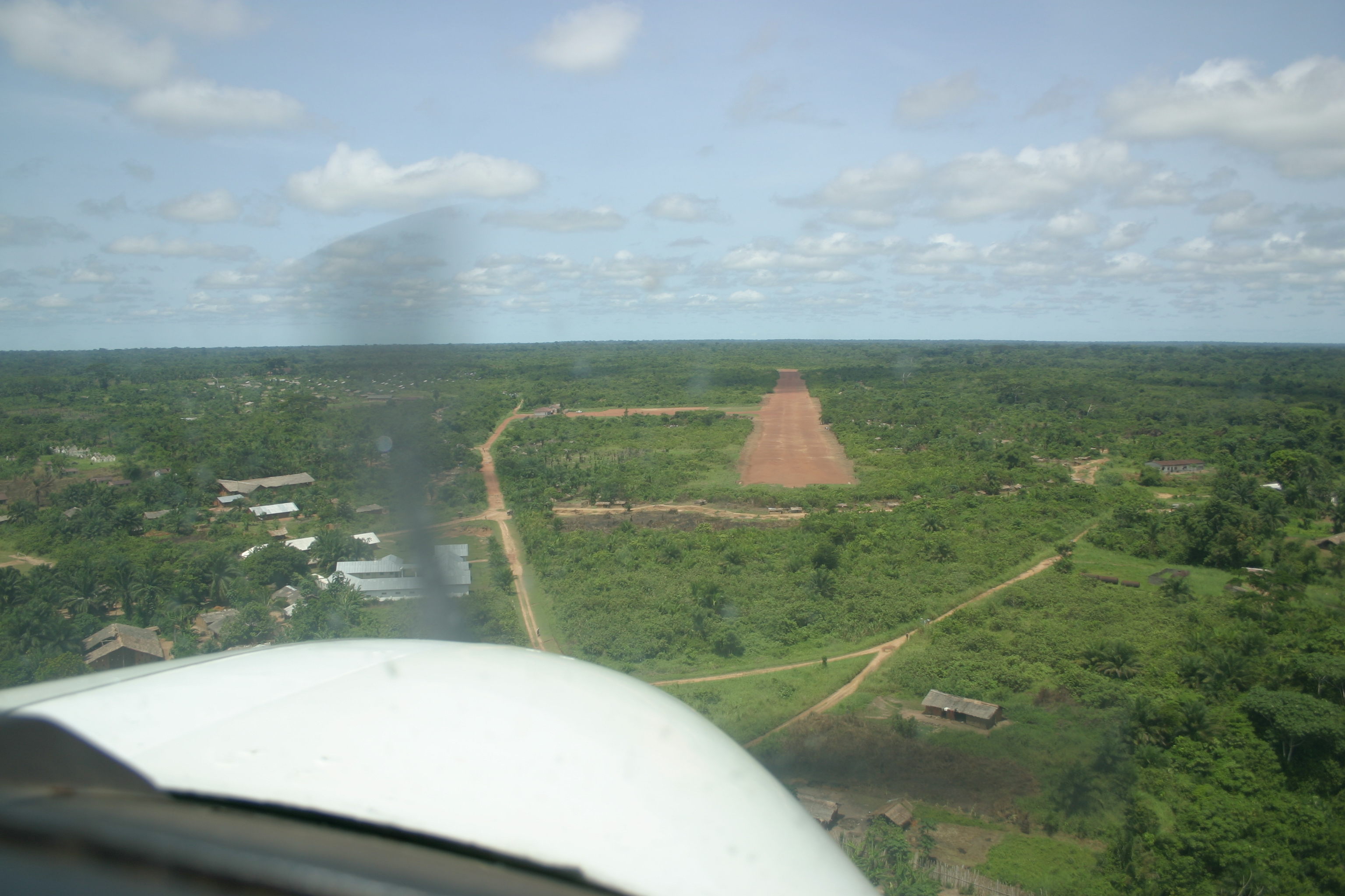
Basankusu Airstrip (IATA: BSU, ICAO: FZEN, FAA LID: Basankusu Airport) is an airport serving Basankusu, a city on the Lulonga River in Équateur Province, Democratic Republic of the Congo.
Basankusu Airstrip | |||||||||||
|---|---|---|---|---|---|---|---|---|---|---|---|
 | |||||||||||
| Summary | |||||||||||
| Airport type | Public | ||||||||||
| Location | Basankusu, Democratic Republic of the Congo | ||||||||||
| Elevation AMSL | 1,217 ft / 371 m | ||||||||||
| Coordinates | 1°13′29″N 19°47′20″E | ||||||||||
| Map | |||||||||||
 BSU Location of Airport in the Democratic Republic of the Congo | |||||||||||
| Runways | |||||||||||
| |||||||||||
The Basankusu non-directional beacon (Ident: BSU) is located on the field.[3]
See also
 Democratic Republic of the Congo portal
 Aviation portal
- List of airports in the Democratic Republic of the Congo
- Transport in the Democratic Republic of the Congo
References
- Airport information for BSU at Great Circle Mapper.
- Google Maps - Basankusu
- "Basankusu NDB (BSU) @ OurAirports". ourairports.com. Retrieved 2018-08-20.
External links
- HERE Maps - Basankusu
- OurAirports - Basankusu Airport
- FallingRain - Basankusu Airport
- OpenStreetMap - Basankusu
- Accident history for Basankusu Airport at Aviation Safety Network
This article about an airport in the Democratic Republic of the Congo is a stub. You can help Wikipedia by expanding it. |
На других языках
- [en] Basankusu Airport
[fr] Aéroport de Basankusu
L’Aéroport de Basankusu (IATA : BSU, ICAO : FZEN, FAA LID : Basankusu Airport) est une piste d'atterissage de République démocratique du Congo desservant Basankusu[1], une localité située sur la rivière Lulonga dans la province de l'Équateur[2].Текст в блоке "Читать" взят с сайта "Википедия" и доступен по лицензии Creative Commons Attribution-ShareAlike; в отдельных случаях могут действовать дополнительные условия.
Другой контент может иметь иную лицензию. Перед использованием материалов сайта WikiSort.org внимательно изучите правила лицензирования конкретных элементов наполнения сайта.
Другой контент может иметь иную лицензию. Перед использованием материалов сайта WikiSort.org внимательно изучите правила лицензирования конкретных элементов наполнения сайта.
2019-2026
WikiSort.org - проект по пересортировке и дополнению контента Википедии
WikiSort.org - проект по пересортировке и дополнению контента Википедии