avia.wikisort.org - Aerodrome
Pine Creek Airfield was an emergency landing ground at Pine Creek, Northern Territory, Australia during World War II.
This article includes a list of references, related reading or external links, but its sources remain unclear because it lacks inline citations. (March 2019) |
Pine Creek Airfield | |||||||||||
|---|---|---|---|---|---|---|---|---|---|---|---|
| |||||||||||
| Summary | |||||||||||
| Location | Pine Creek, Northern Territory | ||||||||||
| Coordinates | 13°49′30.69″S 131°50′43.64″E | ||||||||||
| Map | |||||||||||
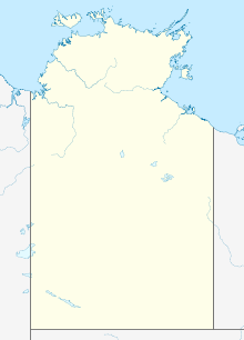
 Pine Creek Airfield Location of airport in Northern Territory | |||||||||||
| Runways | |||||||||||
| |||||||||||
Civil airfield extended by B Company and HQ Detachment of the 808th Engineer Aviation Battalion between 11 May 1942 to 16 July 1942. The runway was 6,000 ft × 100 ft (1,829 m × 30 m) wide.
Due to housing development and road and railway construction, the runway length has now been decreased to about 700 m (2,300 ft), with a gravel surface.
See also
References
External links
Текст в блоке "Читать" взят с сайта "Википедия" и доступен по лицензии Creative Commons Attribution-ShareAlike; в отдельных случаях могут действовать дополнительные условия.
Другой контент может иметь иную лицензию. Перед использованием материалов сайта WikiSort.org внимательно изучите правила лицензирования конкретных элементов наполнения сайта.
Другой контент может иметь иную лицензию. Перед использованием материалов сайта WikiSort.org внимательно изучите правила лицензирования конкретных элементов наполнения сайта.
2019-2025
WikiSort.org - проект по пересортировке и дополнению контента Википедии
WikiSort.org - проект по пересортировке и дополнению контента Википедии