avia.wikisort.org - Aerodrome
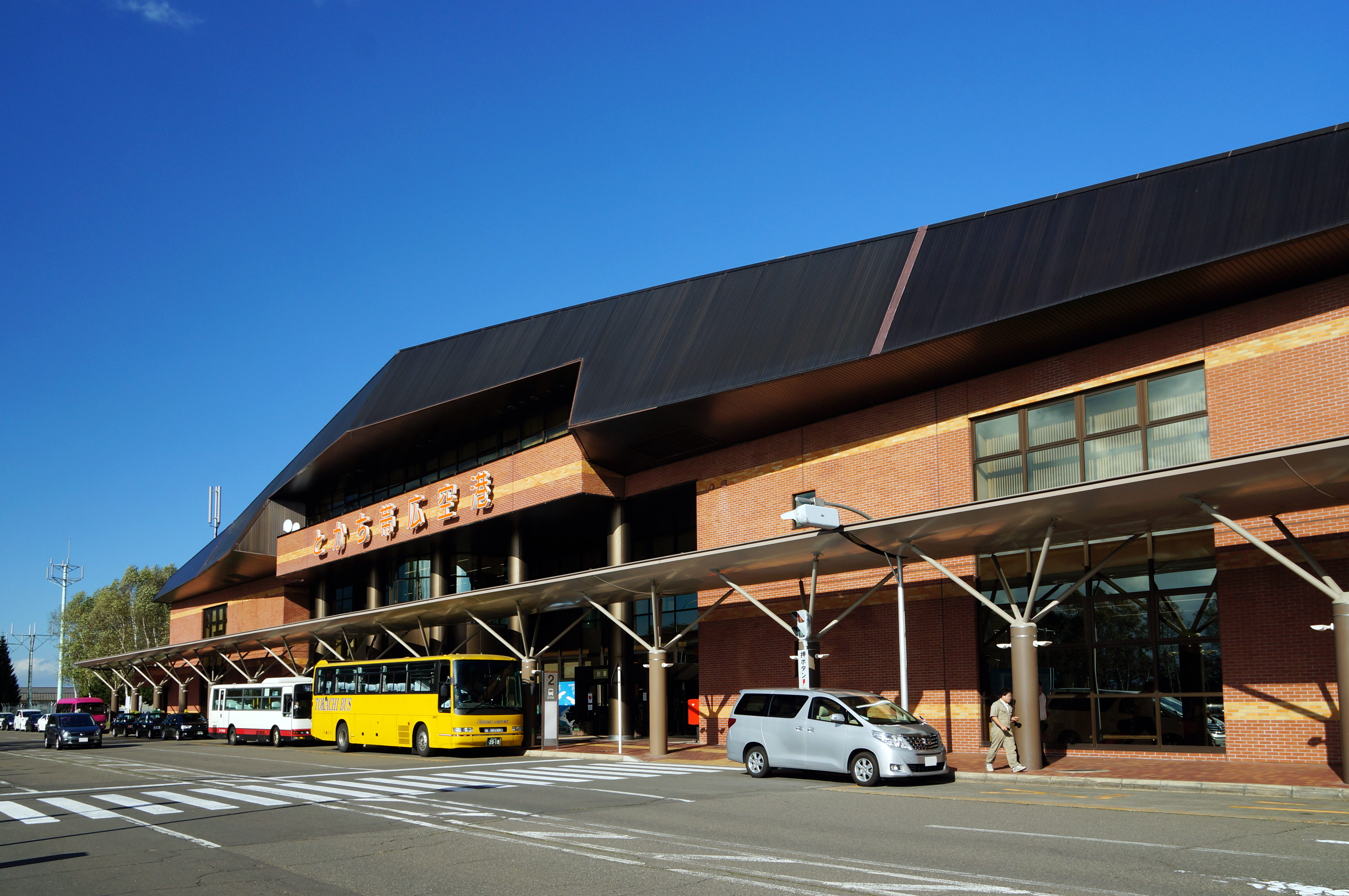
Tokachi–Obihiro Airport (とかち帯広空港, Tokachi-Obihiro Kūkō, or sometimes simply Obihiro Airport) (IATA: OBO, ICAO: RJCB) is an airport located 13.5 NM (25.0 km; 15.5 mi) south of Obihiro Station in Obihiro, Hokkaidō, Japan.[2]
Tokachi–Obihiro Airport とかち帯広空港 | |||||||||||
|---|---|---|---|---|---|---|---|---|---|---|---|
 | |||||||||||
| Summary | |||||||||||
| Airport type | Public | ||||||||||
| Serves | Obihiro, Hokkaido, Japan | ||||||||||
| Elevation AMSL | 490 ft / 149 m | ||||||||||
| Coordinates | 42°44′00″N 143°13′02″E | ||||||||||
| Website | obihiro-airport.com | ||||||||||
| Map | |||||||||||
 RJCB Location in Japan 42°44′00″N 143°13′02″E 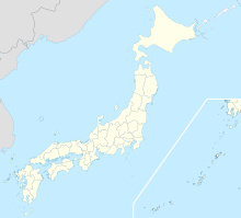 RJCB RJCB (Japan) | |||||||||||
| Runways | |||||||||||
| |||||||||||
| Statistics (2015) | |||||||||||
| |||||||||||
Source: Japanese Ministry of Land, Infrastructure, Transport and Tourism[1] | |||||||||||
Airlines and destinations
| Airlines | Destinations |
|---|---|
| Air Do | Tokyo–Haneda |
| Japan Airlines | Tokyo–Haneda |
History
The airport opened in March, 1981, initially with a 2,000 m (6,562 ft) runway, taking over the role of the former Obihiro Airport, now Tokachi Airfield. The runway was extended to 2,500 m (8,202 ft) in November, 1985.[3]
Statistics
Annual passenger traffic at OBO airport.
See Wikidata query.
References
- "Obihiro Airport" (PDF). Japanese Ministry of Land, Infrastructure, Transport and Tourism. Archived from the original (PDF) on 21 October 2016. Retrieved 7 January 2017.
- AIS Japan Archived 2011-07-22 at the Wayback Machine
- Ministry of Land,Infrastructure and Transport Hokkaido Regional Development Bureau: Obihiro Airport history Archived 2011-07-23 at the Wayback Machine Retrieved on 7 August 2009 (in Japanese)
External links
Wikimedia Commons has media related to Obihiro Airport.
- Official website (in Japanese)
- Terminal Building(in Japanese)
1 Joint civil-military use | |||||||||||||||||
| Major hubs | |||||||||||||||||
| International |
| ||||||||||||||||
| Domestic |
| ||||||||||||||||
| General aviation | |||||||||||||||||
| Military |
| ||||||||||||||||
| Heliports | |||||||||||||||||
| Defunct | |||||||||||||||||
| Statistics | |||||||||||||||||
Mass transit in Hokkaido | |
|---|---|
| |
| JR named trains | |
| Discontinued JR named trains |
|
| Other railways |
|
| |
| Terminals |
|
| Public Ferries |
|
| Miscellaneous |
|
| |
На других языках
[de] Flughafen Obihiro
Der Flughafen Obihiro (jap. 帯広空港,Obihiro Kūkō) ist ein Regionalflughafen der japanischen Stadt Obihiro. Er liegt etwa 26 Kilometer südlich der Stadt Obihiro. Der Flughafen Obihiro gilt nach der japanischen Gesetzgebung als Flughafen 2. Klasse.- [en] Tokachi–Obihiro Airport
Текст в блоке "Читать" взят с сайта "Википедия" и доступен по лицензии Creative Commons Attribution-ShareAlike; в отдельных случаях могут действовать дополнительные условия.
Другой контент может иметь иную лицензию. Перед использованием материалов сайта WikiSort.org внимательно изучите правила лицензирования конкретных элементов наполнения сайта.
Другой контент может иметь иную лицензию. Перед использованием материалов сайта WikiSort.org внимательно изучите правила лицензирования конкретных элементов наполнения сайта.
2019-2025
WikiSort.org - проект по пересортировке и дополнению контента Википедии
WikiSort.org - проект по пересортировке и дополнению контента Википедии