avia.wikisort.org - Aerodrome
Itaituba Airport (IATA: ITB, ICAO: SBIH) is the airport serving Itaituba, Brazil.
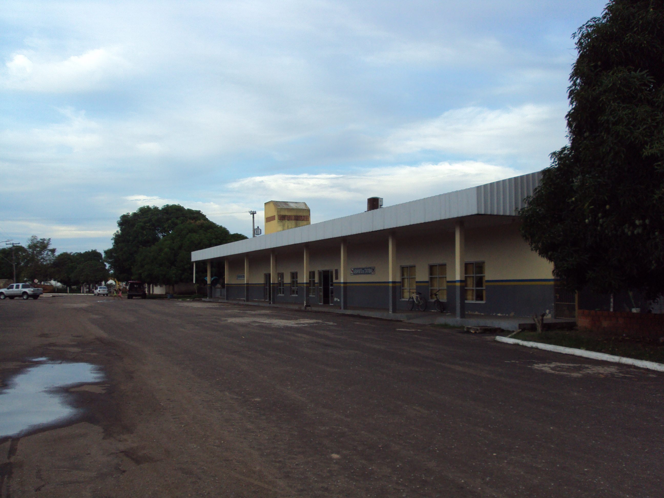
Itaituba Airport Aeroporto de Itaituba | |||||||||||
|---|---|---|---|---|---|---|---|---|---|---|---|
 | |||||||||||
| Summary | |||||||||||
| Airport type | Public | ||||||||||
| Serves | Itaituba | ||||||||||
| Time zone | BRT (UTC−03:00) | ||||||||||
| Elevation AMSL | 33 m / 108 ft | ||||||||||
| Coordinates | 04°14′32″S 056°00′03″W | ||||||||||
| Map | |||||||||||
 ITB Location in Brazil  ITB ITB (Brazil) | |||||||||||
| Runways | |||||||||||
| |||||||||||
History
Itaituba is one of the most important airports in the southwest region of the state of Pará, being classified as a regional airport. It is served by regular flights. In addition, air taxi companies offer flights to small villages and localities farther away from the city urban area, as well as to several gold mining spots and neighboring cities.
Airlines and destinations
| Airlines | Destinations |
|---|---|
| Azul Brazilian Airlines | Manaus (begins 5 December 2022)[2] |
| Azul Conecta | Juruti, Santarém |
| Voepass Linhas Aéreas | Manaus, Parintins |
Accidents and incidents
- 26 April 1994: a Penta Cessna 208A Caravan registration PP-OGI flying from Itaituba to Jacareacanga under poor visibility and below minimums crashed shortly before touch-down at Jacareacanga partly due to the pilot's lack of experience. The crew of 2 died.[3]
- 22 October 1994: a TABA DHC-8-300 was hijacked by thieves, who stole a load of gold that had as destination the city of Belém, Pará.[4]
Access
The airport is located 6 km (4 mi) from downtown Itaituba.
See also
References
- "Aeródromos". ANAC (in Portuguese). 29 June 2020. Retrieved 17 May 2021.
- "Azul 4Q22 Domestic Network Additions". Aeroroutes. Retrieved 14 October 2022.
- "Accident description PT-OGI". Aviation Safety Network. Retrieved June 15, 2011.
- "TABA incident description". Aviation Safety Network. Retrieved June 17, 2012.
External links
Wikimedia Commons has media related to Aeroporto de Itaituba.
- Airport information for SBIH at Great Circle Mapper. Source: DAFIF (effective October 2006).
- Current weather for SBIH at NOAA/NWS
- Accident history for ITB at Aviation Safety Network
Airports in Pará | |
|---|---|
|
На других языках
- [en] Itaituba Airport
[fr] Aéroport d'Itaituba
L'aéroport d'Itaituba (code IATA : ITB • code OACI : SBIH) est un aéroport desservant Itaituba au Brésil.Текст в блоке "Читать" взят с сайта "Википедия" и доступен по лицензии Creative Commons Attribution-ShareAlike; в отдельных случаях могут действовать дополнительные условия.
Другой контент может иметь иную лицензию. Перед использованием материалов сайта WikiSort.org внимательно изучите правила лицензирования конкретных элементов наполнения сайта.
Другой контент может иметь иную лицензию. Перед использованием материалов сайта WikiSort.org внимательно изучите правила лицензирования конкретных элементов наполнения сайта.
2019-2025
WikiSort.org - проект по пересортировке и дополнению контента Википедии
WikiSort.org - проект по пересортировке и дополнению контента Википедии